Swan Lake North Pumped Storage Project P-13318
General information | |
| Current status | Active license |
| Type of facility | Pumped Storage |
| Mode of hydropower generation | Peaking |
| Type of permit | FERC, FERC License |
FERC information | |
| FERC docket # | P-13318 |
| FERC project name | Swan Lake North Pumped Storage |
| Permit issued | 4/30/20 |
| Permit expiration | 4/30/70 |
Power and generating capacity | |
| Number of units | 3 |
| Total capacity from hydraulic turbine-generator units within each plant | 393.3 MW |
New License / Under Construction
Proposed Project Facilities
The Swan Lake North Project will consist of a new upper and lower reservoir, a high-pressure steel penstock connecting the upper reservoir with the powerhouse, a powerhouse with generating/pumping facilities, three low-pressure steel penstocks connecting the powerhouse to the lower reservoir, a transmission line, and substation, and access roads to the lower and upper reservoirs.
The asphalt, concrete, and geomembrane-lined upper reservoir will be created by a 7,972-foot-long, 58-foot-high earthen embankment and will have a surface area of 64.21 acres and a storage capacity of 2,568 acre-feet at a maximum surface elevation of 6,128 feet above mean sea level (msl). A bell-mouth intake fitted with a 38.6-foot-wide by 29.8-foot-long inclined screen and headgate will withdraw water from the upper reservoir and deliver it to the powerhouse through the 13.8-foot-diameter, 9,655-footlong, high-pressure steel penstock that will be predominantly above-ground with a 14-foot-long buried segment.
The powerhouse will partially be buried and will be constructed adjacent to the lower reservoir and contain three 131.1-MW variable speed reversible pump-turbine units for a total installed capacity of 393.3 MW. Upon entering the powerhouse, the steel penstock will trifurcate to distribute flow to each pump-turbine unit, with flow distribution controlled by a spherical valve located at the intake of the pump-turbine
units. The maximum hydraulic capacity of each turbine will be 3,230 cfs. Each turbine will discharge into the lower reservoir through a separate 9.8-foot-diameter, 1,430-footlong steel low-pressure penstock that will be predominantly aboveground with a 78-footlong
buried segment.
The asphalt, concrete, and geomembrane-lined lower reservoir will be created by a 8,003-foot-long, 65-foot-high earthen embankment and will have a surface area of 60.14 acres and a storage capacity of 2,581 acre-feet at a maximum surface elevation of 4,457 feet msl. Each reservoir will be fitted with a drainage system designed to detect, collect, and monitor water leakage from the reservoirs. A 500-foot-long, riprap lined trapezoidal spillway will be built into the crest of the upper and lower reservoir embankments at an elevation of approximately 6,135 feet msl and 4,464 feet msl, respectively.
Is there something you’d like to add or correct? Please let us know.
News and updates
From Trout Unlimited4/4/2024
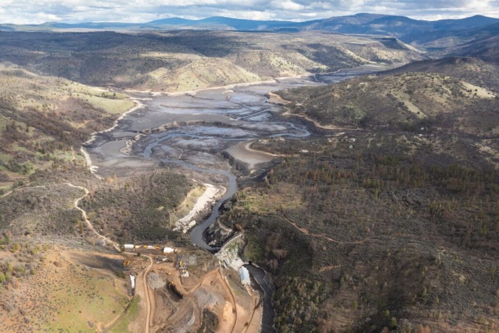
Klamath Reservoir Drawdowns: Short-term Costs for much larger long-term gains
From American Whitewater3/28/2024
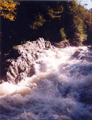
Wells River (VT) Whitewater Access to be Improved under New FERC License