by Hydropower Reform Coalition | Jun 1, 2009
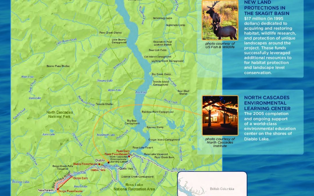
The Skagit River basin is the largest drainage in Puget Sound, covering 3,140 square miles and representing a unique regional and national resource. Over 158 miles of river including its major tributaries are federally protected Wild and Scenic reaches. Its upper watershed is deeply embedded in the spectacular North Cascades National Park [pictured at right]. Within the Park, the Ross Lake National Recreation Area immediately surrounds 35 miles of Skagit River, surrounding Seattle City Light’s hydroelectric project.
by Hydropower Reform Coalition | Jun 1, 2009
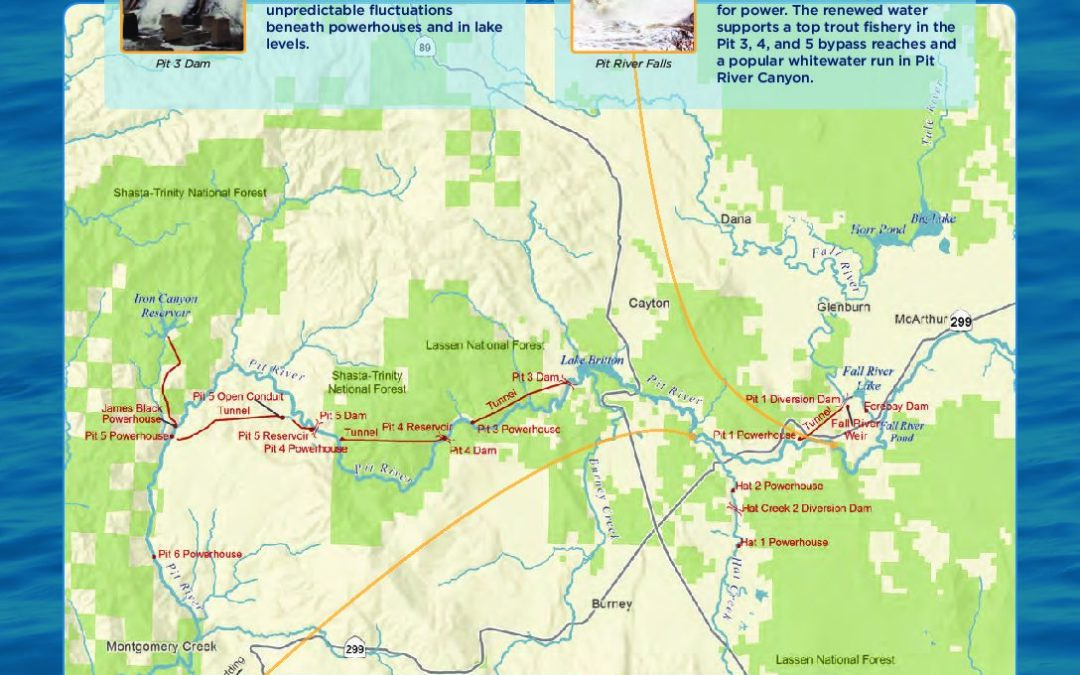
The Pit River is the largest river in northeastern California; its watershed is 4,324 square miles. The mainstem Pit flows in a southwesterly direction through valleys and basalt canyons to Shasta Lake, where it eventually flows into the Sacramento River and San Francisco Bay.
by Hydropower Reform Coalition | Jun 1, 2009
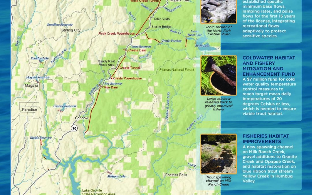
The North Fork Feather originates near the southern boundary of Lassen Volcanic National Park and flows generally southward. The West Branch and North, Middle, and South Forks of the Feather River join underneath Lake Oroville to form the Feather River, a tributary of the Sacramento River. Before dams obstructed the way, the Feather River and its forks were well- known as major salmon rivers, documented as early as the 1840s.
by Hydropower Reform Coalition | Jun 1, 2009
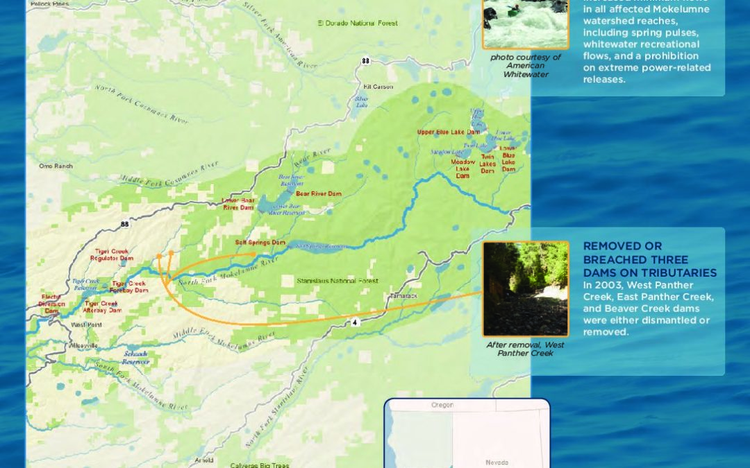
The Mokelumne River basin drains 661 square miles high in the central Sierra Nevada Mountains. Its dominant tributary, the North Fork Mokelumne, cut through granite to create the Mokelumne River Canyon, encased in the Mokelumne Wilderness. The rugged scenery is defined by deep granitic canyons, volcanic ridges and peaks, and prominences such as the massive 1,200-foot Calaveras Dome – much like its neighbor, Yosemite.
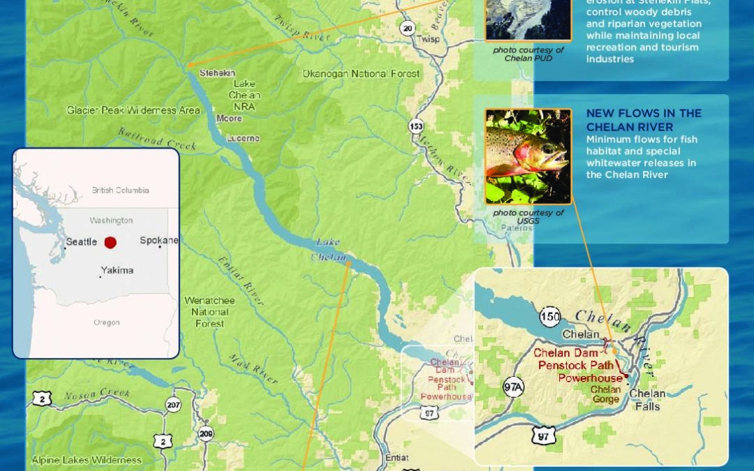
by Hydropower Reform Coalition | Jun 1, 2009
Lake Chelan is a freshwater fjord, a lake carved by ancient glaciers. At 1,500 feet deep and 55 miles long, it is the third deepest lake in the United States, and the longest and deepest lake in the state of Washington. The Chelan River, the lake’s outlet, flows four miles into the Columbia River. Over a century ago, the Chelan River’s flows varied by a factor of ten: from 640 cfs in the winter to 6,400 cfs in late spring freshets.


