AW Launches Wildfire Info Map: See Which Rivers Are Affected by Fires
Published 8/26/2021 | American Whitewater
 By: Scott Harding
It’s become increasingly clear in recent years that wildfires are becoming more frequent, larger, and longer-lasting. Many areas of the country have been affected, particularly the West and this includes our whitewater rivers and their watershed. Until now, there has not been a way for whitewater enthusiasts to easily view active wildfires and rivers on a single map and it has been difficult to see the big picture view of what fires are affecting our rivers.
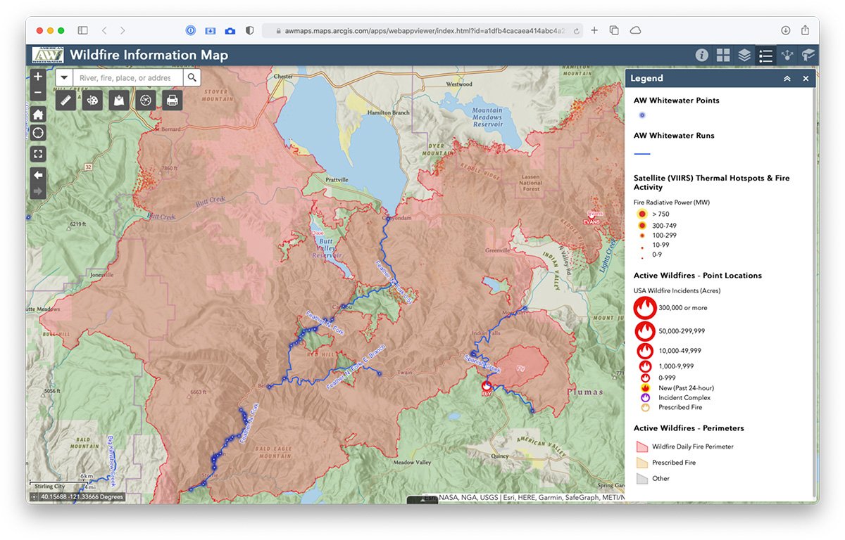
So, we’re pleased to announce the launch of our new online mapping tool, the AW Wildfire Information Map, that brings together AW’s National Whitewater Inventory with the latest wildfire info on a single map.