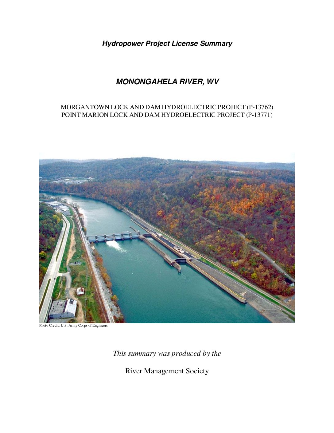
The Monongahela River (“river”) is approximately 128 miles long and is formed by the confluence of the West Fork River and the Tygart Valley River near the town of Fairmont, WV. The river flows in a northern direction from its headwaters in north- central West Virginia before emptying into the Allegheny River in Pittsburgh, PA. The entire watershed encompasses much of northern West Virginia, southwestern Pennsylvania, and western Maryland.
A system of nine locks and dams owned by the Army Corps of Engineers (“Corps”) renders all 128 miles of the river navigable for commercial navigation. In their current form, the nine structures provide no hydroelectric generation. The Point Marion Lock and Dam Hydroelectric Project (P-13771) (“Point Marion”) and the Morgantown Lock and Dam Hydroelectric Project (P-13762) (“Morgantown”) FERC licenses allow for two of these current Corps facilities to be modified for hydropower generation.


