Huntington Falls P-2558
General information | |
| Waterway |
Otter Creek |
| Current status | Active license |
| Type of facility | Conventional Hydro |
| Mode of hydropower generation | Run-of-river |
| Type of permit | FERC License |
FERC information | |
| FERC docket # | P-2558 |
| FERC project name | Otter Creek |
| Other projects with this FERC number | |
| Permit issued | 10/18/14 |
| Permit expiration | 9/26/54 |
Ownership and operation | |
| Owner | Central Vermont Pub Serv Corp |
| Owner type | Investor-Owned Utility |
| Year first online (conventional hydro) | 1988 |
| Transmission or distribution system owner | Green Mountain Power Corp |
Power and generating capacity | |
| Number of units | 3 |
| Total capacity from hydraulic turbine-generator units within each plant | 5.7 MW |
| Average annual net hydropower generation | 20,223.0 MWH |
Download license summary for the Otter Creek project.
The project is located on Otter Creek in Addison and Rutland Counties, Vermont and consists of three developments: Proctor, Beldens, and Huntington Falls.
The Proctor Development consists of a 128-foot-long, 13-foot-high masonry, concrete-capped dam with a 3-foot-high inflatable flashboard system. The dam is located at river mile (RM) 64.2 and impounds a reservoir with a surface area of 95 acres and a usable storage capacity of 275 acre-feet at a normal maximum water surface elevation of 469.5 feet above mean sea level (msl).
The Beldens Development consists of a concrete dam with 2.5-foot-high wooden flashboards. The dam comprises two sections on either side of a bedrock island: a 15-foot-high, 56-foot-long section on the west side (Beldens west dam) and a 24-foot-high, 57-foot-long section on the east side (Beldens east dam). The dam is located at RM 23 and impounds a reservoir with a surface area of 22 acres and a usable storage capacity of 253 acre-feet at a normal maximum water surface elevation of 283 feet msl.
The Huntington Falls Development consists of a 31-foot-high, 187-foot-long concrete dam with a 2.5-foot-high inflatable flashboard system. The dam is located at RM 21 and impounds a reservoir with a surface area of 23 acres with a storage capacity of 234 acre-feet at a normal maximum water surface elevation of 217.8 feet msl.
Is there something you’d like to add or correct? Please let us know.
News and updates
From California Sportfishing Protection Alliance11/1/2025
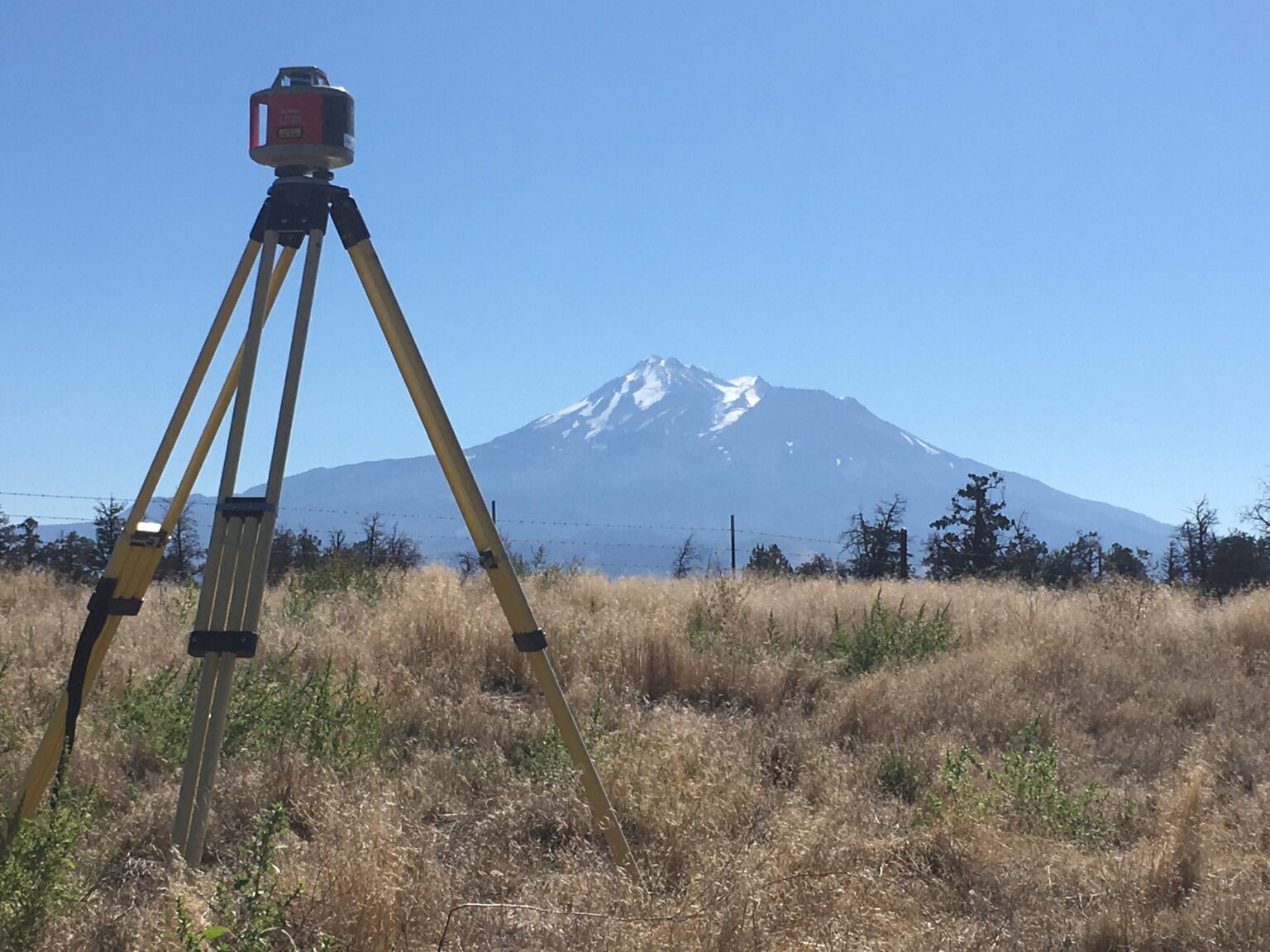
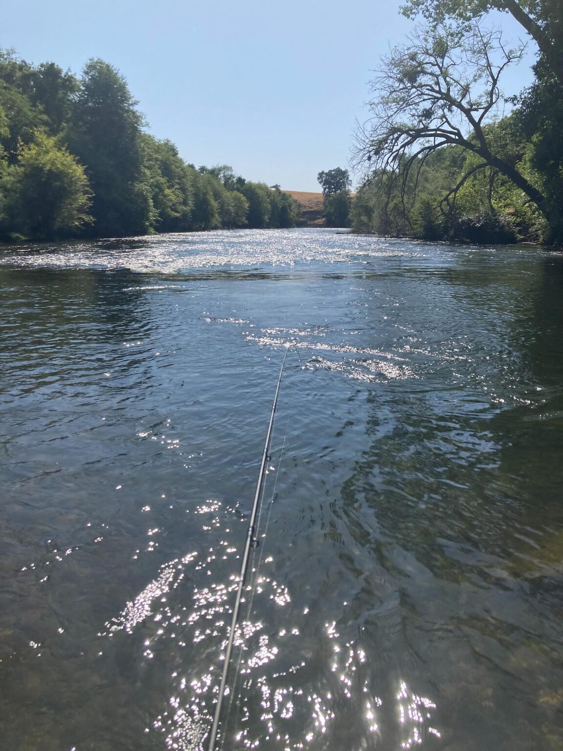
Measuring Flow to Support New Interim Flow Requirements in the Shasta River
From California Sportfishing Protection Alliance11/1/2025