North Fork P-2195
General information | |
| Waterway |
Clackamas River |
| Current status | Active license |
| Type of facility | Conventional Hydro |
| Mode of hydropower generation | Run-of-river |
| Type of permit | FERC License |
FERC information | |
| FERC docket # | P-2195 |
| FERC project name | Clackamas River |
| Other projects with this FERC number | |
| Permit issued | 12/16/10 |
| Permit expiration | 2/24/46 |
Ownership and operation | |
| Owner | Portland General Electric Co |
| Owner type | Investor-Owned Utility |
| Year first online (conventional hydro) | 1958 |
| Transmission or distribution system owner | Portland General Electric Co |
Power and generating capacity | |
| Number of units | 2 |
| Total capacity from hydraulic turbine-generator units within each plant | 40.8 MW |
| Average annual net hydropower generation | 188,589.8 MWH |
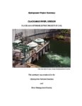
Download License Summary for the Clackamas Project.
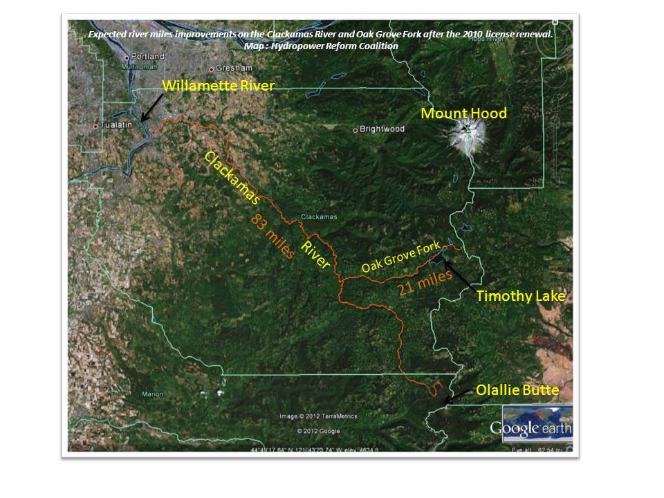
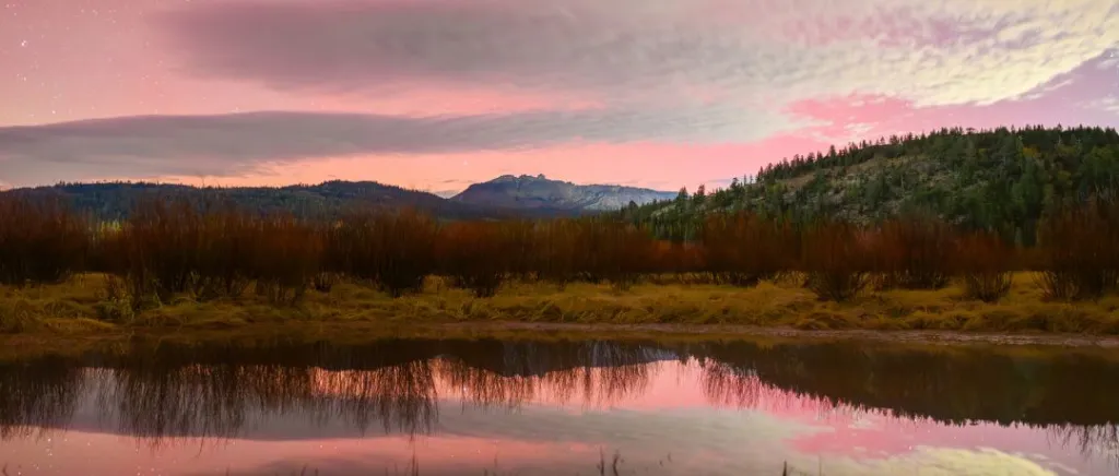
The Clackamas River Project is located within the Clackamas River Basin. The Clackamas River drains more than 940 square miles as it flows west from the Cascade Mountain Range for 83 miles to its confluence with the Willamette River at Oregon City, Oregon.
The project is situated on the lower 16 miles of the Oak Grove Fork and on the mainstem of the Clackamas River between river miles 46.8 and 22.3.
The Clackamas River Project consists of four developments in the following sequence, from upstream to downstream: Oak Grove, North Fork, Faraday, and River Mill.
Background
- The Clackamas project is located on the Oak Grove Fork of the Clackamas River and the mainstem of the Clackamas River in Clackamas County, Oregon.
- The project occupies over 3,596 acres of land, 2,423 acres of which are federal lands within the Mt. Hood National Forest.
- The Clackamas River drains more than 940 square miles as it flows west from the Cascade Mountain Range for 83 miles to its confluence with the Willamette River at Oregon City, Oregon. Most of the headwaters are located within the Mt. Hood National Forest.
- Approximately 47 miles of the Clackamas River are designated as a federal Wild and Scenic River.
- The Clackamas River provides significant recreational opportunities for fishing, whitewater boating, and camping in relatively close proximity to the Portland, Oregon metropolitan area.
- The river supports regionally important anadromous fish populations, including Endangered Species Act (ESA)-listed fall- and spring-run Chinook salmon, coho salmon, and steelhead trout.
- The Clackamas River also provides drinking water for approximately 200,000 people.
- Coalition members American Rives, American Whitewater, Trout Unlimited, Oregon Trout, WaterWatch of Oregon participated in licensing and ultimately signed a settlement in 2006. However, the license was issued in late 2010.
Project Facilities
- The Clackamas River Project consists of four developments in the following sequence, from upstream to downstream: Oak Grove, North Fork, Faraday, and River Mill.
- The project is situated on the lower 16 miles of the Oak Grove Fork and on the mainstem of the Clackamas River between river miles 46.8 and 22.3.
- The total capacity of the project is 173 MW.
River Mile Improvements
- A total of 104 miles (83 miles on the Clackamas River and another 21 miles on the Oak Grove Fork of the Clackamas River) is expected to improve.
- The license included measures to improve conditions (flow, temperature, gravel, large woody debris, fish passage) above, below and within the project boundary.
- The Clackamas River will also see improvements to recreation flows.
- See the map showing the river reach to be affected:
Milestones
| Settlement Filed | 03-30-2006 |
| Final EIS Issued | 12-21-2006 |
| License order Issued | 12-21-2010 |
Is there something you’d like to add or correct? Please let us know.
Related resources
News and updates
From California Trout1/21/2026
From South Yuba River Citizens League1/21/2026
The PERMIT Act Passed the House: What It Means for the Yuba River Watershed