Norway P-12514
General information | |
| Waterway |
Tippecanoe River |
| Current status | Active license |
| Type of facility | Conventional Hydro |
| Mode of hydropower generation | Run-of-river |
| Type of permit | FERC License |
FERC information | |
| FERC docket # | P-12514 |
| FERC project name | Norway-Oakdale |
| Other projects with this FERC number | |
| Permit issued | 9/27/07 |
| Permit expiration | 9/26/37 |
Ownership and operation | |
| Owner | Northern Indiana Pub Serv Co |
| Owner type | Investor-Owned Utility |
| Year first online (conventional hydro) | 1923 |
| Transmission or distribution system owner | Northern Indiana Pub Serv Co |
Power and generating capacity | |
| Number of units | 4 |
| Total capacity from hydraulic turbine-generator units within each plant | 7.3 MW |
| Average annual net hydropower generation | 19,625.0 MWH |
The Norway-Oakdale Project consists of two developments:
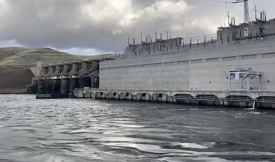
The upper development, Norway, includes a 915-foot-long dam and an integral powerhouse, equipped with four vertical Francis turbine-generating units with a total authorized installed capacity of 7.2 MW. The Norway Dam has a maximum height of 34 feet and contains a 120-foot-long gated spillway section. The reservoir, Lake Shafer, extends 10 miles upstream of Norway Dam (River Mile 30.2 to River Mile 40.2), and has a surface area of about 1,291 acres at a pool elevation of 647.47 feet National Geodetic Vertical Datum (NGVD). A 2-mile-long, 69,000-volt transmission line connects the Norway development substation to the Monticello substation located in Monticello, Indiana.
The lower development, Oakdale, includes: a 1,688-foot-long dam and an integral powerhouse, equipped with three vertical Francis turbine-generating units with a total authorized installed capacity of 9.2 MW. The Oakdale Dam has a maximum height of 58 feet and contains an 84-foot-long gated spillway section. The reservoir, Lake Freeman, extends 10 miles upstream of Oakdale Dam (River Mile 17.8 to River Mile 27.8) and has a surface area of about 1,547 acres at a pool elevation of 612.45 feet NGVD. A 69,000-volt substation connects the facility to the electrical grid.
Source: FERC
Is there something you’d like to add or correct? Please let us know.
News and updates
From Idaho Rivers United1/14/2025
Federal agencies prepare a SEIS to update the Columbia River System Operations
From California Sportfishing Protection Alliance1/1/2025
CSPA Sues California over Operations of the State Water Project


