South Edwards P-2713
General information | |
| Waterway |
East Branch Oswegatchie River |
| Current status | Active license |
| Type of facility | Conventional Hydro |
| Mode of hydropower generation | Peaking |
| Type of permit | FERC License |
FERC information | |
| FERC docket # | P-2713 |
| FERC project name | Oswegatchie River |
| Other projects with this FERC number | |
| Permit issued | 11/21/12 |
| Permit expiration | 12/27/52 |
Ownership and operation | |
| Owner | Erie Boulevard Hydropower LP |
| Owner type | Wholesale Power Marketer |
| Year first online (conventional hydro) | 1912 |
| Transmission or distribution system owner | Niagara Mohawk Power Corp. |
Power and generating capacity | |
| Number of units | 4 |
| Total capacity from hydraulic turbine-generator units within each plant | 4.0 MW |
| Average annual net hydropower generation | 17,723.9 MWH |
This project located in upstate New York began operations in 1913 but was halted from 1992 to 2002 due to collapse of the wooden intake flume. A reconstruction allowed the project to operate again after 2002.
The project has six developments located along a 90-mile stretch of the Oswegatchie River in St. Lawrence County, New York.2 The six developments are: Browns Falls, Flat Rock, South Edwards, Oswegatchie, Heuvelton, and Eel Weir.
- The Browns Falls Development
- located at river mile (RM) 96.9 and consists of a 941-foot-long, 69-foot-high concrete gravity dam
- creates a 7,500-foot-long bypassed reach
- Flat Rock Development
- located at RM 95.5 and consists of a 658-foot-long, 70-foot-high concrete gravity dam
- no bypassed reach at this development. Erie operates and maintains a boat launch and picnic area at the Flat Rock Development.
- South Edwards Development
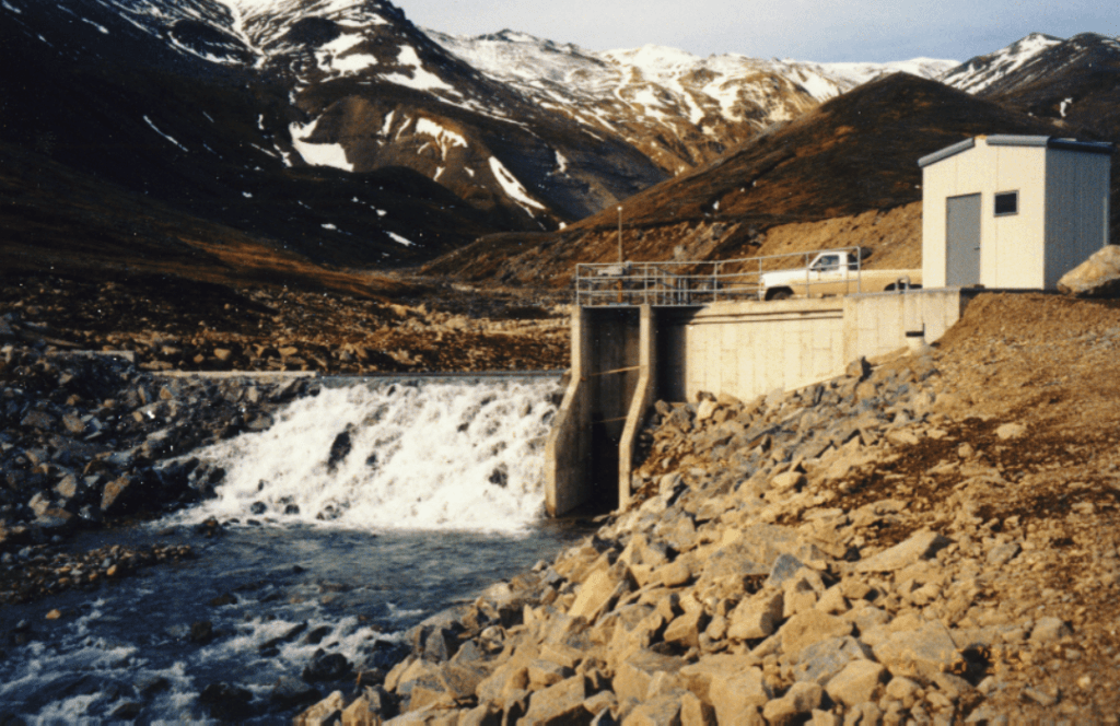
- located at RM 87.1 and consists of a 214.5-foot-long, 48-foot-high dam
- creates a 1,500-foot-long bypassed reach
- Oswegatchie Development
- located at RM 86.6 and consists of a 160-foot-long, 12-foot-high dam
- creates a 350-foot-long bypassed reach
- Heuvelton Development
- located at RM 12 and consists of a 285-foot-long, 19-foot-high concrete gravity dam
- no bypassed reach at this development. Erie operates and maintains a picnic area at the Heuvelton Development
- Eel Weir Development
- located at RM 5.1 and consists of a 1,122-foot-long, 26-foot high dam
- no bypassed reach at this development. Erie operates and maintains a canoe portage route at the Eel Weir Development.
The four upstream developments (i.e., Browns Falls, Flat Rock, South Edwards, and Oswegatchie) are operated as peaking facilities, while the two downstream developments (i.e., Heuvelton and Eel Weir) operate in a run-of-river mode. Combined, the six developments generate approximately 129,096 megawatt-hour (MWh) annually.
Source: FERC
Milestones
| Study Plan Determination Issued | 11-06-2008 |
| NOI/PAD Submitted | 12-28-2007 |
| License Application Filed | 12-30-2010 |
| Settlement Agreement Filed with FERC | 02-08-2011 |
| EA Issued | 10-18-2011 |
| License Issued | 11-26-2012 |
Is there something you’d like to add or correct? Please let us know.
News and updates
From California Sportfishing Protection Alliance11/24/2024
From Hydropower Reform Coalition11/19/2024
Monthly Newsletter: Exploring FERC-Exempt Hydro Projects: Small-Scale Hydropower with Big Impacts


