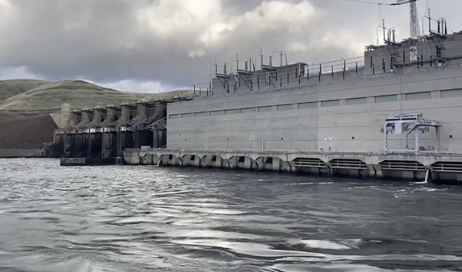
Taum Sauk P-2277
General information | |
| Waterway |
East Fork Black River |
| Current status | Active license, Dam failed |
| Type of facility | Pumped Storage |
| Mode of hydropower generation | Peaking |
| Type of permit | FERC License |
FERC information | |
| FERC docket # | P-2277 |
| FERC project name | Taum Sauk Pumped Storage |
| Permit issued | 7/12/14 |
| Permit expiration | 6/26/44 |
Ownership and operation | |
| Owner | Ameren Missouri |
| Owner type | Investor-Owned Utility |
| Year first online (pumped storage) | 1963 |
| Transmission or distribution system owner | Union Electric Co - (MO) |
Power and generating capacity | |
| Number of units | 2 |
| Total capacity from pumped storage turbine-generator units | 408.0 MW |
| Pumped storage gross generation in megawatt hours for each powerplant | 382,172.7 MWH |
The Taum Sauk Pumped Storage Project received a FERC license in July 2014. The authorized capacity of the project is 442.5 MW. The Taum Sauk Project consists of a 54.5-acre upper reservoir located on Proffit Mountain and a 363-acre lower reservoir.
The upper reservoir is impounded by a 120-foot-high, roller-compacted concrete dam. The lower reservoir is located on the East Fork Black River and the lower reach of Taum Sauk Creek and is impounded by a 390-foot-long, 60-foot-high concrete gravity dam.
The upper reservoir breached in 2005 built reconstructed in 2010.
Background
Taum Sauk is a pumped storage project located in Reynolds County, MO near the town of Lesterville. It is operated by AmerenUE.
The project was built in 1963 and received a FERC license in 1965. It consists of two reservoirs. The lower reservoir is formed by a dam on the East Fork Black River. The upper reservoir does not impound a river, but rather was formed by hollowing out the top of Proffit mountain and filling it with water.
The project, like all pumped-storage projects, uses more energy than it creates. Water is pumped from the lower reservoir to the upper one during off-peak hours and is then run through turbines back into the lower reservoir during times of peak power consumption. It is, however, highly profitable for Ameren because of electric rate structures: power generated during periods of peak demand commands a much higher price than non-peak power.
Upper Reservoir Failure
On December 14, 2005, the upper reservoir failed when the water in the reservoir rose too high and overtopped its sides. More than a billion gallons of water exploded down the side of Proffit Mountain in the space of 25 minutes, flooding Johnson’s Shut-In State Park, toppling trees, injuring several people, and leaving a trail of debris in its wake. This water then flowed into the East Fork of the Black River, where it caused major environmental damage.
Ameren’s Negligence
The reservoir had been overtopped at least twice: once in September 2005, and again when the dam failed on December 14, 2005. This extemely dangerous condition was caused in part because of faulty sensors that were leading Ameren to overfill the reservoirs. Even though Ameren was aware of these faulty sensors, the utility failed to repair them or notify FERC of their malfunction.
After the dam failure, an independent Board of Consultants Report and subsequent FERC documents determined that Ameren had been negligent. FERC fined Ameren $15 million, but the utility is not required by the terms of the settlement to admit fault.
Recreation
The project is located in the St Francois Mountains, one of the few mountainous areas in Missouri. The popular Johnson’s Shut-In State Park is located nearby, and a portion of the Taum Sauk Trail has been closed since dam failure.
Other Values
Very scenic area, home to many species.
Is there something you’d like to add or correct? Please let us know.
News and updates
From Idaho Rivers United1/14/2025
Federal agencies prepare a SEIS to update the Columbia River System Operations
From California Sportfishing Protection Alliance1/1/2025
CSPA Sues California over Operations of the State Water Project


