by Hydropower Reform Coalition | Mar 1, 2020
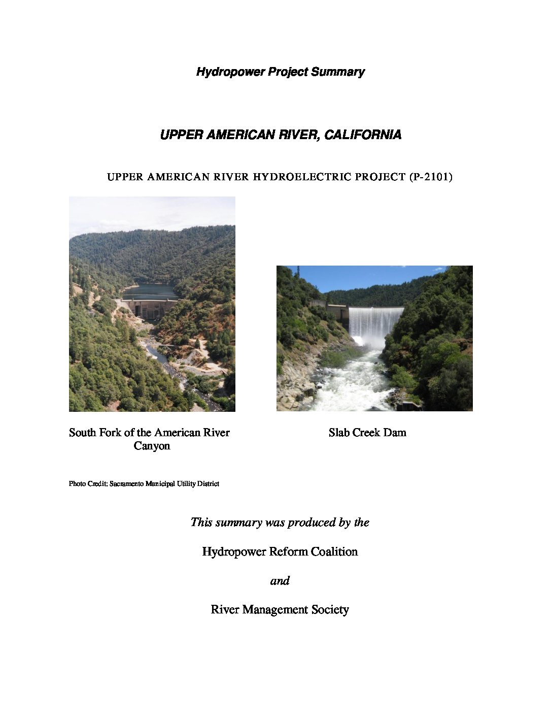
The Upper American River Project consists of seven developments located on the Rubicon River, Silver Creek, and South Fork American River in El Dorado and Sacramento Counties in central California. These seven developments occupy 6,190 acres of federal land within the Eldorado National Forest and 54 acres of federal land administered by the Bureau of Land Management (BLM). Updated in 2020.
by Hydropower Reform Coalition | Mar 1, 2020
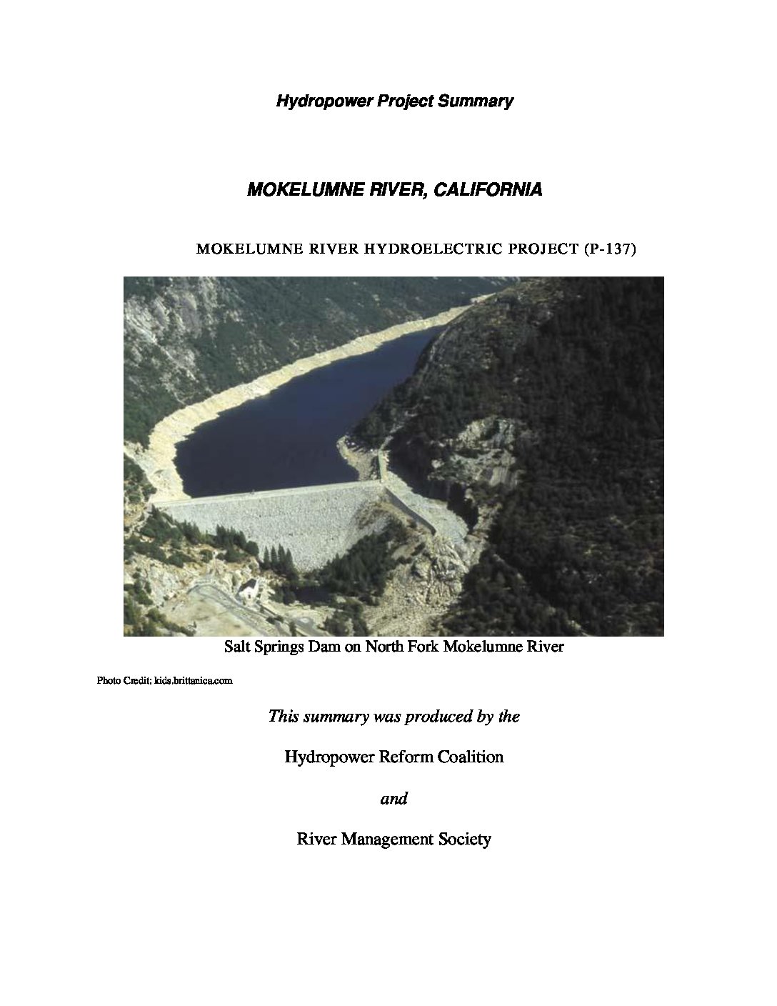
The Mokelumne Project is located on the Mokelumne, North Fork Mokelumne (North Fork), and Bear Rivers and tributaries of the North Fork in the Sierra Nevada mountain range of California. Portions of the project occupy lands within the Stanislaus and Eldorado National Forests, and lands managed by the U.S. Department of the Interior’s Bureau of Land Management (BLM). Updated in 2020.
by Hydropower Reform Coalition | Jul 1, 2017
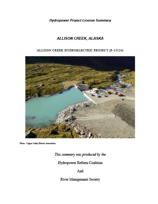
Allison Creek hydroelectric project is located on the Allison Creek near the city of Valdez, Alaska and was constructed in 2016. The project cost $55 million as of August 2016. The project is operated in a run-of-river mode and creates a bypass of about 7,500 feet of...
by Hydropower Reform Coalition | Mar 1, 2015
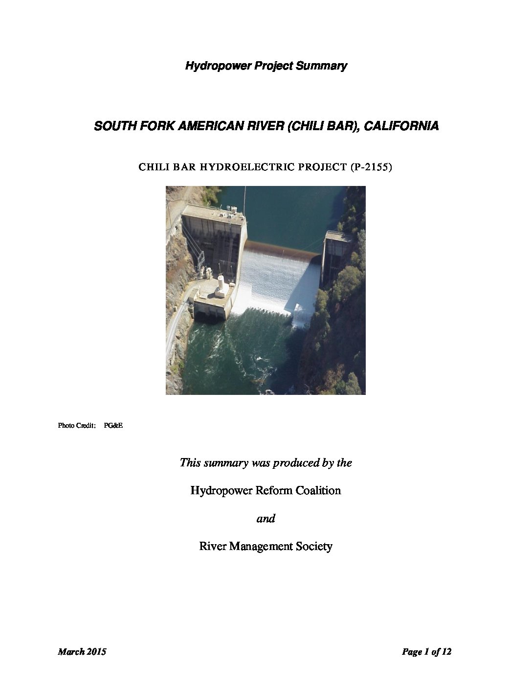
The Chili Bar Project, under license to Pacific Gas & Electric Company (G&E) consists of a single dam near the town of Placerville on the South Fork American River downstream from the Upper American River Project (P-2101). It occupies federal land administered by the U.S. Department of the Interior’s Bureau of Land Management. Due to its proximity to the Upper American River Project under license to the Sacramento Municipal Utility District (SMUD), and also undergoing re-licensing, both projects were the subject of collaborative proceeding and settlement negotiations.
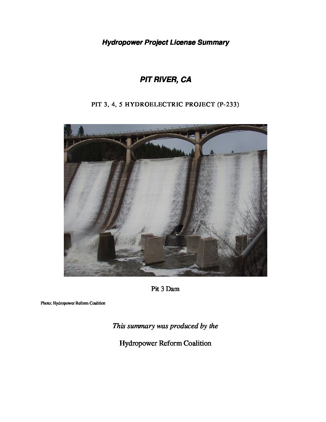
by Hydropower Reform Coalition | Sep 1, 2014
The 312.33-megawatt (MW) Pit 3, 4, 5 project is located on the Pit River in Shasta County, California. The project occupies 4,330 acres, of which 3,259 acres are owned by PG&E, 746 acres are part of the Shasta National Forest, and 325 are privately owned.