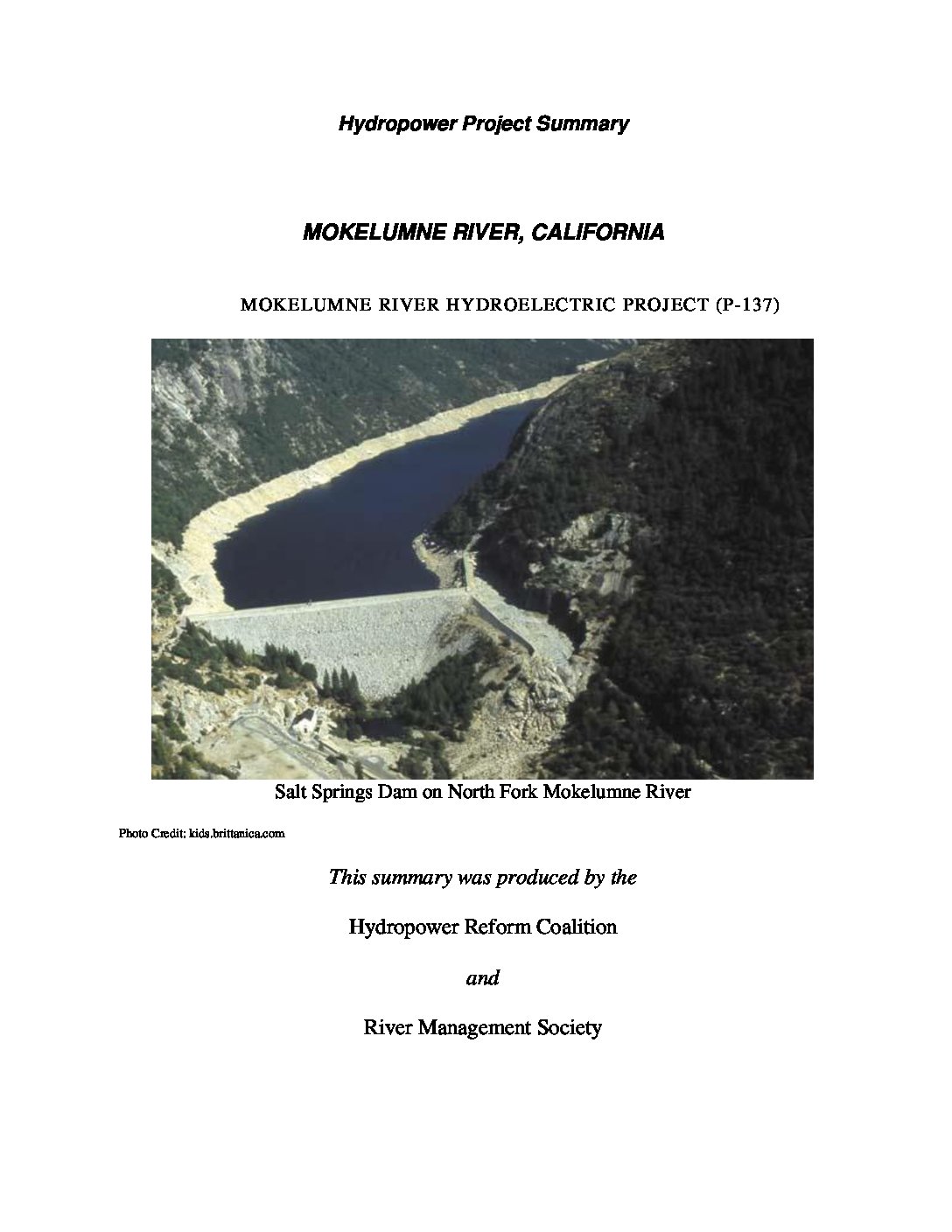
The Mokelumne Project is located on the Mokelumne, North Fork Mokelumne (North Fork), and Bear Rivers and tributaries of the North Fork in the Sierra Nevada mountain range of California. Portions of the project occupy lands within the Stanislaus and Eldorado National Forests, and lands managed by the U.S. Department of the Interior’s Bureau of Land Management (BLM).
Farthest upstream are four natural lakes which have been enlarged by the addition of dams to Upper Blue Lake, Lower Blue Lake, Twin Lake, and Meadow Lake. The project has four power developments downstream of these lakes: Salt Springs, Tiger Creek, West Point, and Electra.
The nine signatories to the Settlement are: U.S. Forest Service (Forest Service), U.S Fish and Wildlife Service (FWS), BLM, California Dept. of Fish and Game (Cal Fish and Game), California Dept. of Boating and Waterways (Cal Boating), Friends of the River, Natural Heritage Institute, American Whitewater, and Foothill Conservancy.
The California State Water Resources Control Board and the East Bay Utility District were members of the collaborative process during licensing but did not sign the Settlement.
License summary originally prepared in 2015. Updated in 2020 in partnership with River Management Society.


 HRC or member-contributed