by Hydropower Reform Coalition | Jun 1, 2015
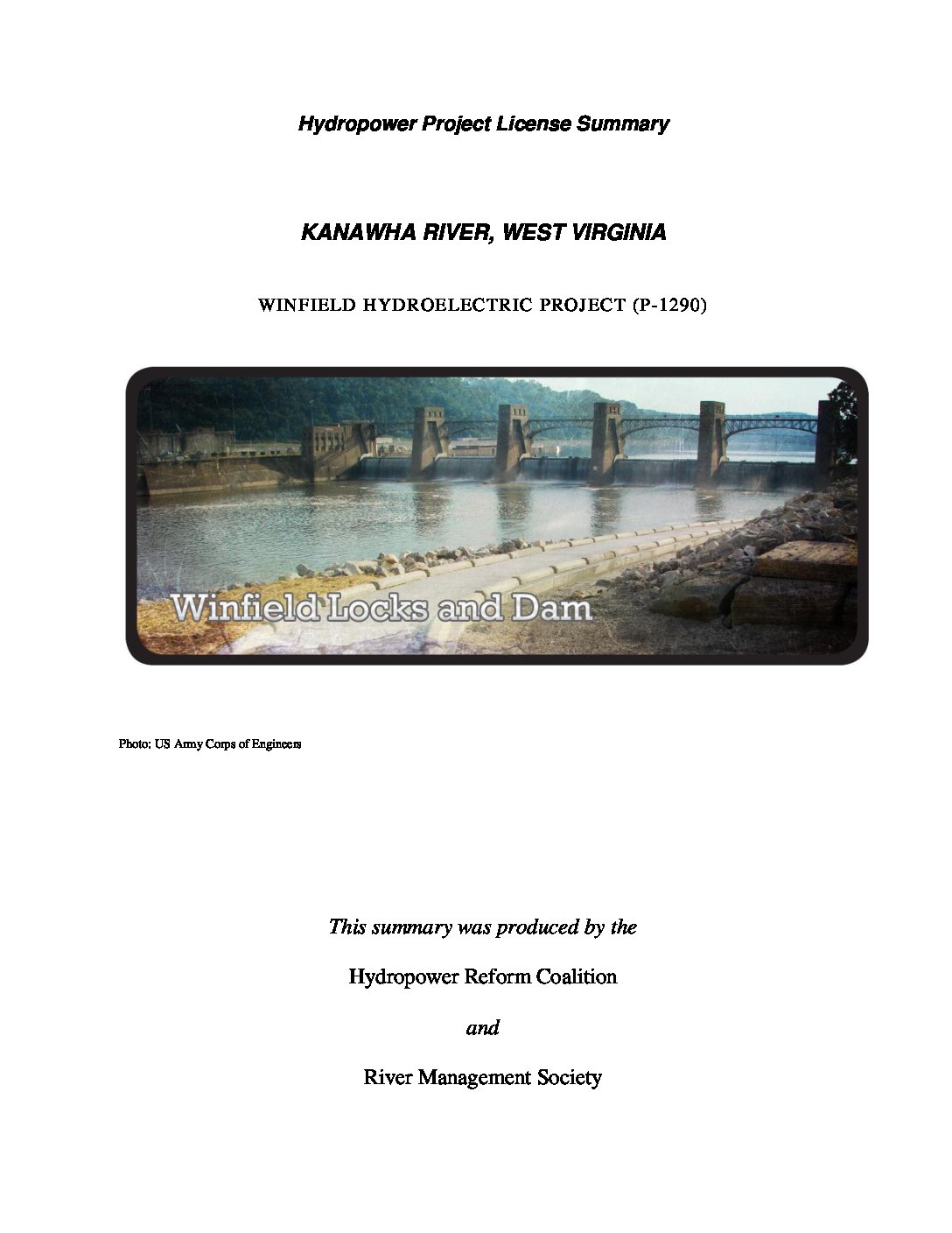
The Winfield Hydroelectric project is owned by the Appalachian Power Company and located on the Kanawha River. The 38-foot high Winfield dam, owned and operated by the US Army Corps of Engineers, is a gated dam with six roller gates spanning 100 ft between piers and consisting of three locks. This project is operated in conjunction with the upstream London-Marmet project.
by Hydropower Reform Coalition | Jun 1, 2015
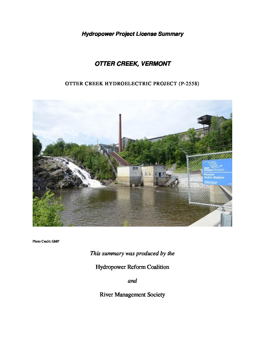
Otter Creek is approximately 100 miles long and flows northeasterly from the headwaters of Emerald Lake to its confluence with Lake Champlain. The Otter Creek watershed drains an area of 1,106 square miles and is located in the Champlain Valley, which is a sub-unit of the larger Lake Champlain Basin.
by Hydropower Reform Coalition | Jun 1, 2015
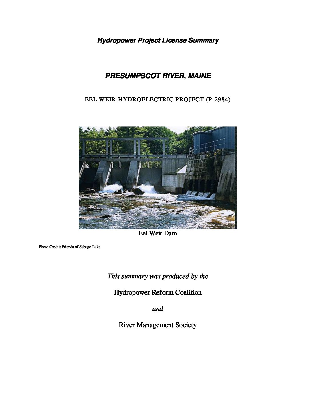
The Eel Weir Project is located at the outlet of Sebago Lake near the cities of Standish and Windham, in Cumberland County, about 14 miles northwest of Portland, Maine. The Presumpscot River originates at the outlet of Sebago Lake and flows in a southeasterly direction for about 25 miles before emptying into the Atlantic Ocean at Casco Bay.
by Hydropower Reform Coalition | Jun 1, 2015
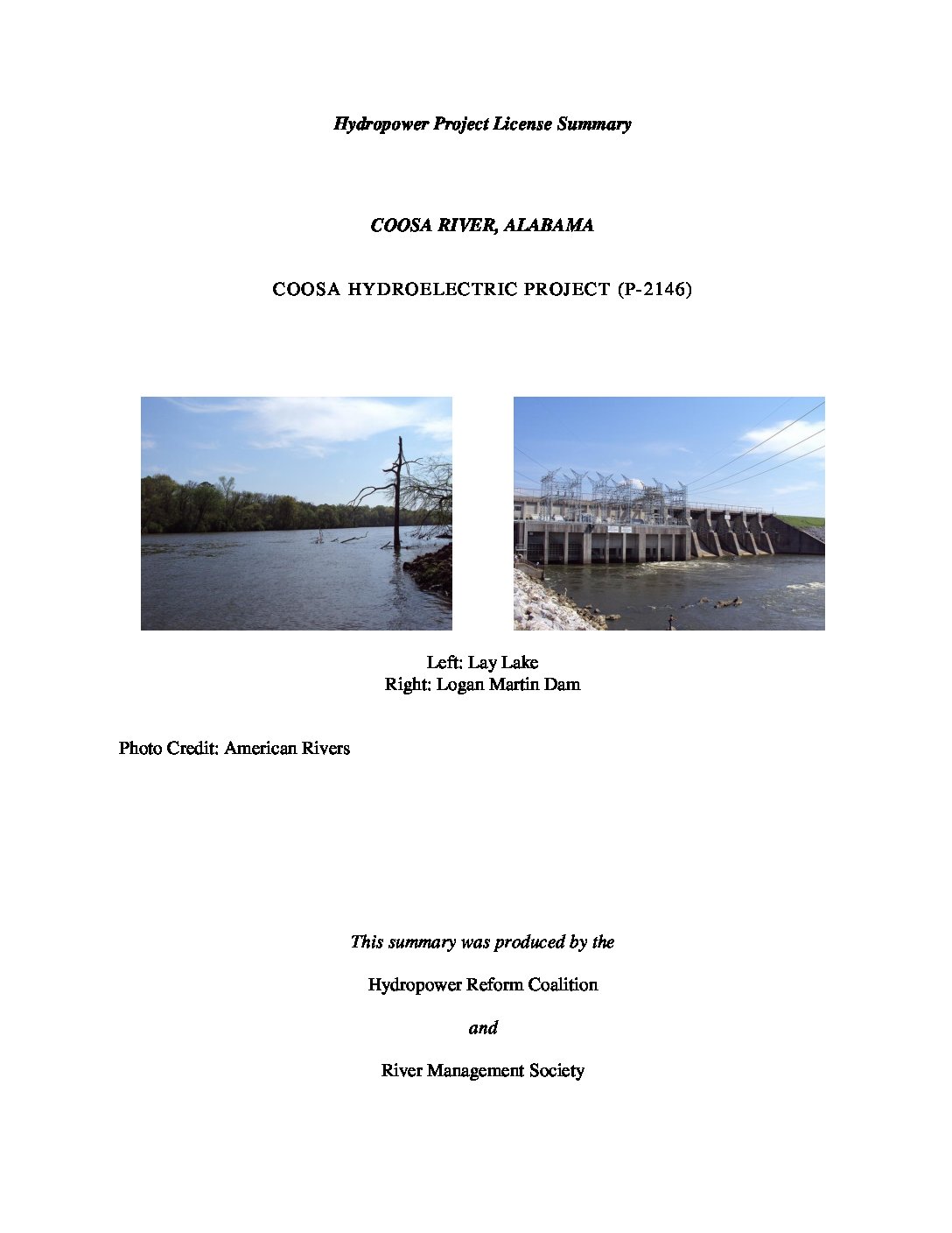
The Coosa River Basin drainage encompasses about 10,161 square miles in Alabama, Georgia, and Tennessee. The Coosa River begins at the confluence of the Oostanaula and Etowah rivers in northwest Georgia, and flows 267 miles in a southerly direction to its confluence with the Tallapoosa River, forming the Alabama River.
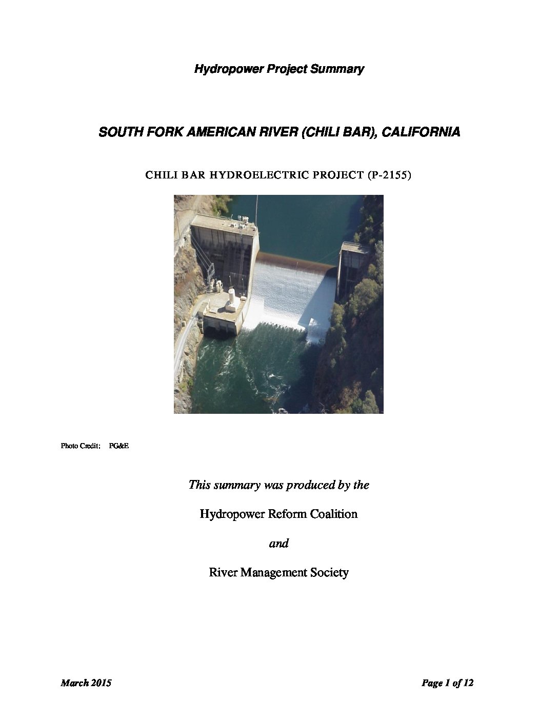
by Hydropower Reform Coalition | Mar 1, 2015
The Chili Bar Project, under license to Pacific Gas & Electric Company (G&E) consists of a single dam near the town of Placerville on the South Fork American River downstream from the Upper American River Project (P-2101). It occupies federal land administered by the U.S. Department of the Interior’s Bureau of Land Management. Due to its proximity to the Upper American River Project under license to the Sacramento Municipal Utility District (SMUD), and also undergoing re-licensing, both projects were the subject of collaborative proceeding and settlement negotiations.