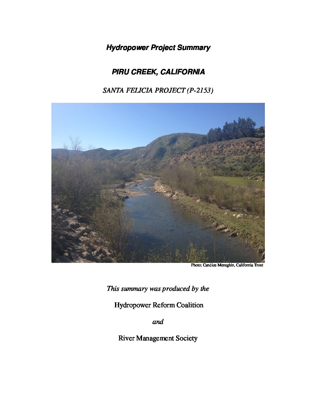
The project is located on Piru Creek, a tributary of the Santa Clara River, in Ventura County, California. Piru Creek originates in the Los Padres National Forest and is the largest tributary of the Santa Clara River providing about half of the river’s flow.
Piru Creek has a drainage area of 437 square miles and flows into Pyramid Lake, formed by Pyramid Dam approximately 15 river miles (RM) upstream of the Santa Felicia hydroelectric project. Upon exiting Pyramid Lake, Piru Creek flows to Piru Lake, where it is impounded by the Santa Felicia dam. Lower Piru Creek, downstream of the Santa Felicia dam, continues for another six miles to its confluence with the Santa Clara River approximately 30 river miles from the Pacific Ocean.
The Piru Creek is popular for opportunities for fly fishing as well as whitewater activities with Class IV rapids between Pyramid Lake and Piru Lake. Historically, the creek was host to Southern California steelhead and today only a few fish return to spawn.


 HRC or member-contributed