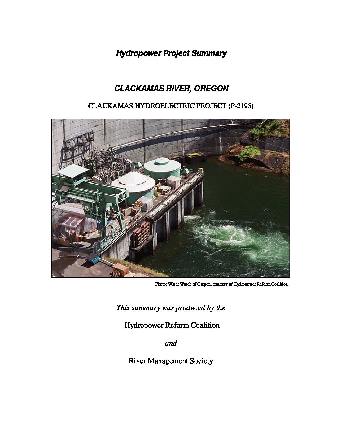
The Clackamas River Project is located within the Clackamas River Basin which drains more than 940 square miles. It flows west from the Cascade Mountain Range for 83 miles to its confluence with the Willamette River at Oregon City, Oregon. Most of the headwaters are located within the Mt. Hood National Forest, and approximately 47 miles of the Clackamas River are designated as a federal Wild and Scenic River. The Clackamas River provides significant recreational opportunities for fishing, whitewater boating, and camping in relatively close proximity to the Portland, Oregon metropolitan area. The river supports regionally important fish populations, including Endangered Species fall- and spring-run Chinook salmon, Coho salmon, and steelhead trout.
The project is situated on the lower 16 miles of the Oak Grove Fork and on the mainstem of the Clackamas River between river miles 46.8 and 22.3. The Clackamas River Project consists of four developments in the following sequence, from upstream to downstream:
- Oak Grove: facilities are located on the Clackamas River and its tributary, Oak Grove Fork
- North Fork, Faraday, and River Mill: three developments and their facilities are located on the Clackamas River, and were constructed between 1902 and 1958 with prior licenses.
The new Clackamas River Project combines the four developments under a single license, which authorizes 173 MW of renewable energy, and requires a number of measures to protect and enhance fish, wildlife, recreation, cultural, and aesthetic resources at the project.


 HRC or member-contributed