by Hydropower Reform Coalition | Mar 1, 2020
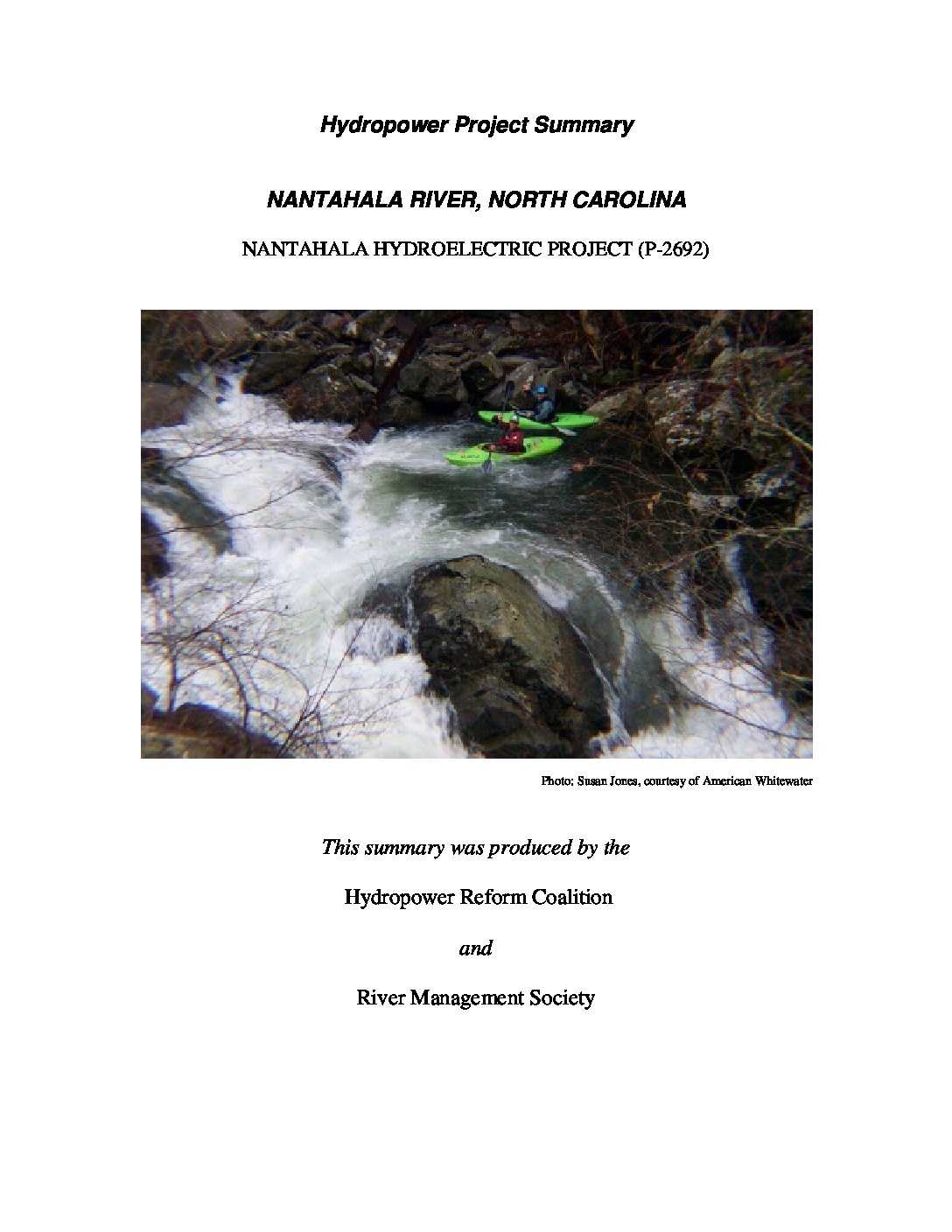
This project is located on the Nantahala River and two tributaries, Dicks Creek and White Oak Creek, in western North Carolina. The Nantahala River is one of the most popular recreational rivers in the United States. Beyond its picturesque setting and level of difficulty suited perfectly to unguided canoes, kayaks and rafts, the Class II-III section of the Nantahala has been a recreational mecca for decades rooted in its longstanding history of predictable flow from the Nantahala Dam operated by Nantahala Power and Light, now Duke Energy. Updated in 2020.
by Hydropower Reform Coalition | Mar 1, 2020
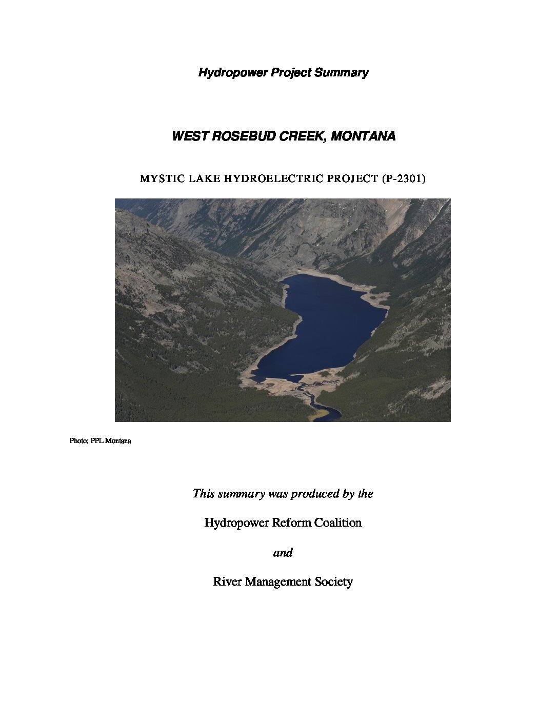
The Mystic Lake Hydroelectric Project is located on West Rosebud Creek, in Stillwater and Carbon counties about 75 miles southwest of Billings, in southern Montana. The project began operation in 1925 and received its last operating license in 2007 and became the first project to do so using the Federal Energy Regulatory Commission’s Integrated Licensing Process (ILP.) Updated in 2020.
by Hydropower Reform Coalition | Mar 1, 2020
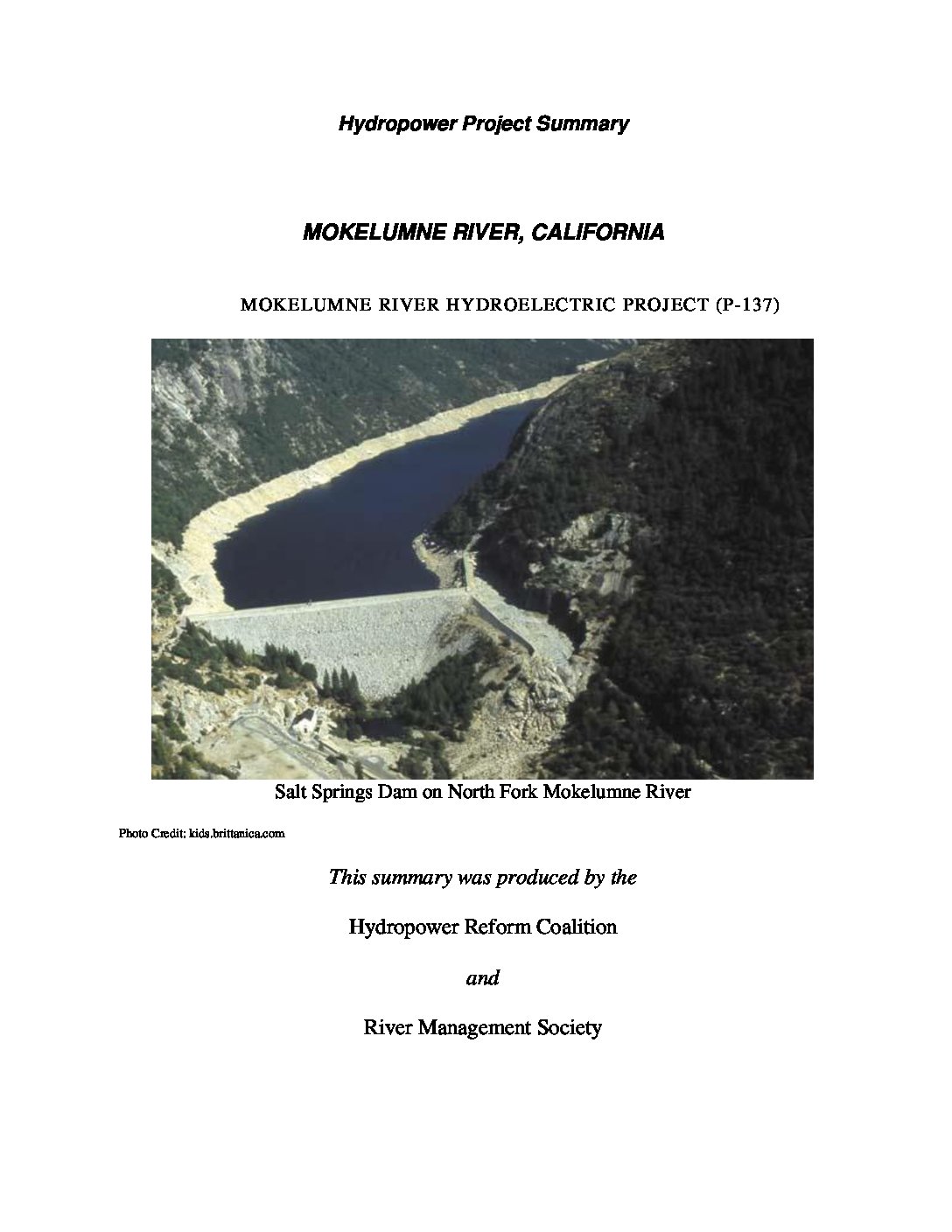
The Mokelumne Project is located on the Mokelumne, North Fork Mokelumne (North Fork), and Bear Rivers and tributaries of the North Fork in the Sierra Nevada mountain range of California. Portions of the project occupy lands within the Stanislaus and Eldorado National Forests, and lands managed by the U.S. Department of the Interior’s Bureau of Land Management (BLM). Updated in 2020.
by Hydropower Reform Coalition | Mar 1, 2020
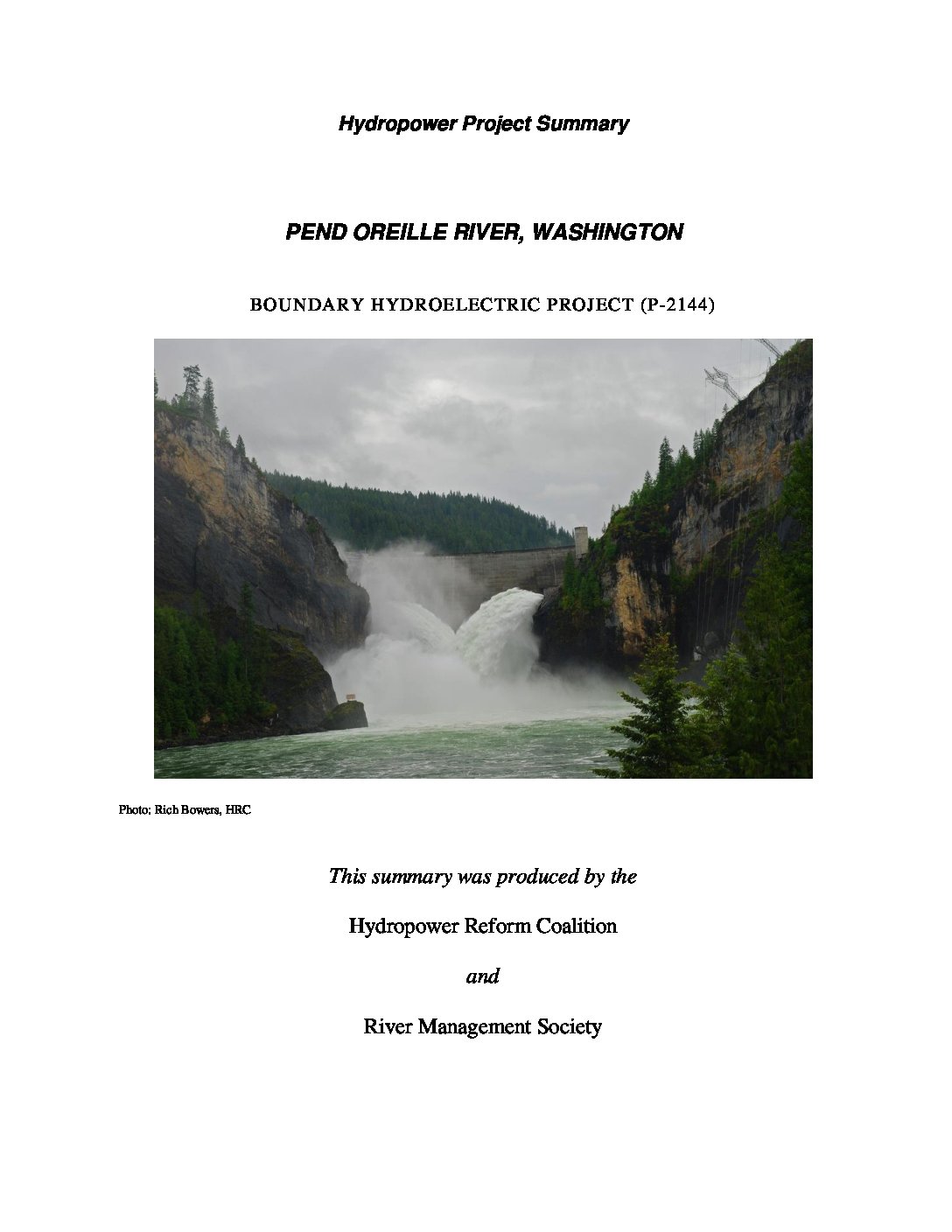
The Boundary hydroelectric project is located in a narrow canyon in the Selkirk Mountains in the northeast corner of Washington, about 10 miles north of the city of Metaline Falls and one mile south of the U.S.-Canada border. The Pend Oreille River is about 120 miles long from its origin at Lake Pend Oreille in Albeni Falls, Idaho to its confluence with the Columbia River in British Columbia, Canada.
by Hydropower Reform Coalition | Mar 1, 2020
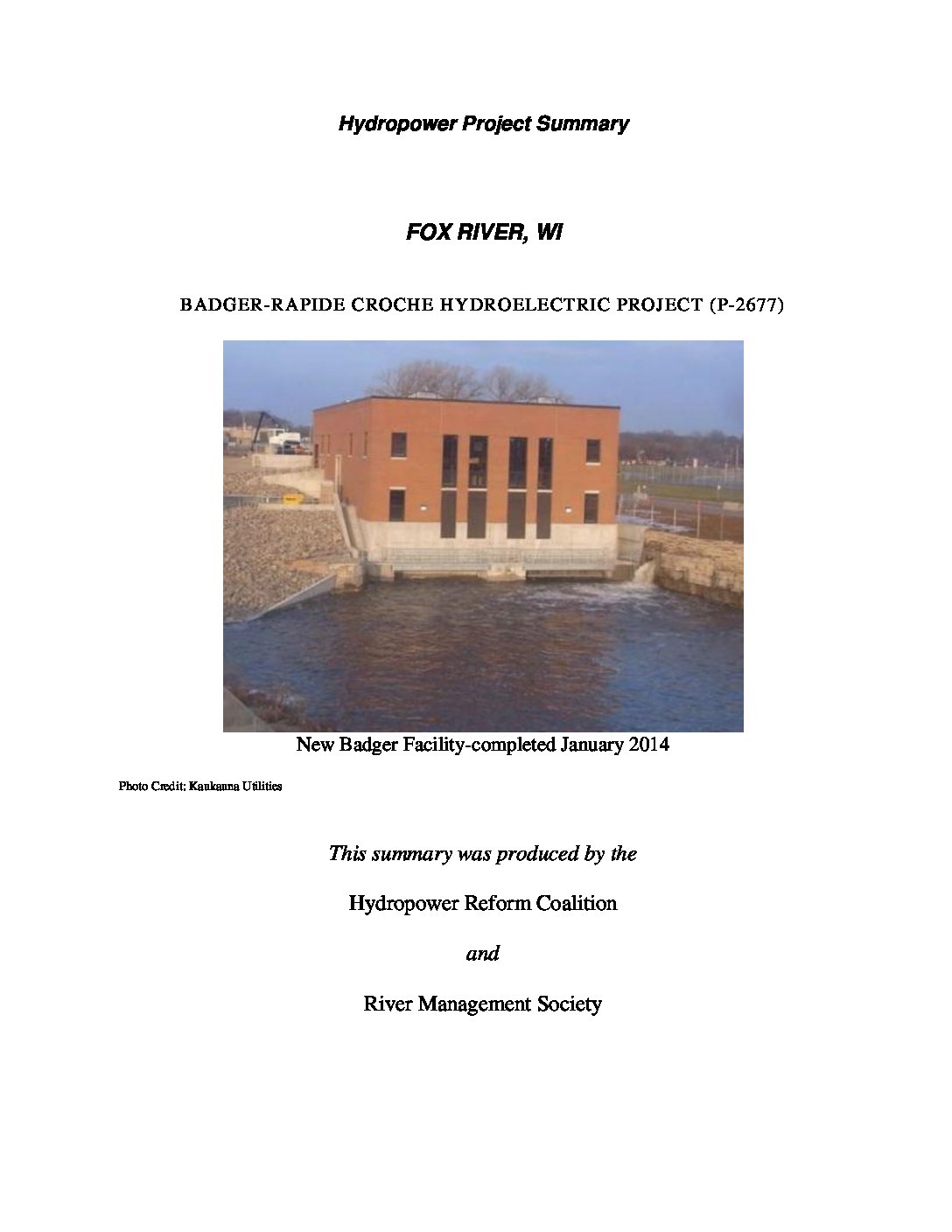
The Badger-Rapide Croche (Badger) Development is located in the City of Kaukauna (Kaukauna), Wisconsin at the U.S. Army Corps of Engineers (Corps) Kaukauna dam on the Fox River. The project is approximately 1,800 feet downstream of the Kaukauna dam and utilizes the head created by the 22-foot-high dam and a power canal. Flows, therefore, used for generation bypass the natural river channel. Updated in 2020.


