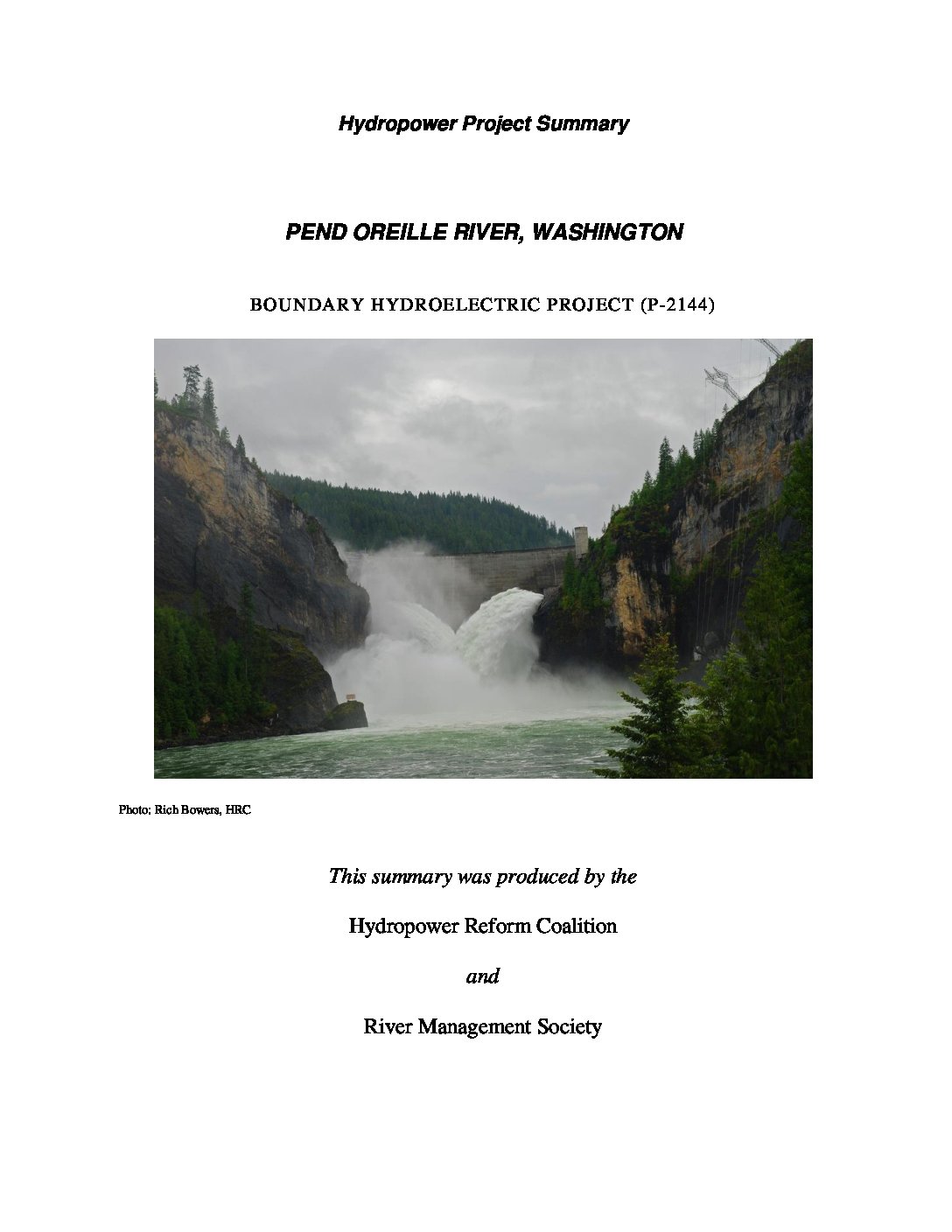
The Boundary hydroelectric project is located in a narrow canyon in the Selkirk Mountains in the northeast corner of Washington, about 10 miles north of the city of Metaline Falls and one mile south of the U.S.-Canada border. The Pend Oreille River is about 120 miles long from its origin at Lake Pend Oreille in Albeni Falls, Idaho to its confluence with the Columbia River in British Columbia, Canada. The Pend Oreille River system is highly regulated, with flows controlled by seven hydroelectric and storage projects upstream from Boundary dam, and two in Canada downstream from the project.
The license for this project was issued in conjunction with the license surrender for the Sullivan Creek Project (P-2225) based on a comprehensive settlement. The Sullivan Creek project is located on Sullivan Creek, a tributary of the Pend Oreille River and is being decommissioned and the dam removed. The comprehensive agreement was signed by: City of Seattle (Seattle City and Light), Public Utility District No. 1 of Pend Oreille County (owner of the Sullivan creek project), US Forest Service (USFS), US Fish and Wildlife Service (USFWS), National Park Service (NPS) , Bureau of Land Management (BLM), Bureau of Indian Affairs (BIA), Washington Department of Fish & Wildlife (Washington DFW), Washington Department of Ecology (Ecology), Kalispel Tribe, Selkirk Conservation Alliance, The Lands Council, American Whitewater, Town of Cusack, Washington, Rick Larsen, and Al Six.
This summary only pertains to the license issued for the Boundary dam hydroelectric project.
License summary originally prepared in 2014. Updated in 2020 in partnership with River Management Society.


 HRC or member-contributed