
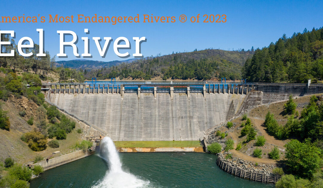
Eel River Named one of America’s Most Endangered Rivers of 2023
The Eel River was named one of America’s Most Endangered Rivers of 2023 by American Rivers. Tell the Federal Energy Regulatory Commission to prioritize the removal of two dams on the river that are preventing recovery of critically endangered salmon now! ACT NOW...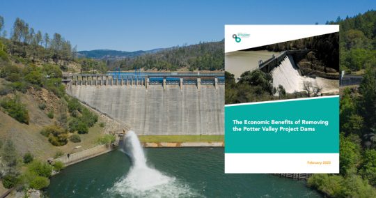
New Study Shows Eel River Dam Removal Would Benefit Local Economy
A new report details the beneficial local economic impacts that would be generated by the removal of Scott and Cape Horn Dams, two aging dams on the Eel River that are part of the hydroelectric Potter Valley Project. The report estimates dam removal would create between 1,037 and 1,332 local jobs and would boost the regional economy to the tune of $203 million to $278 million. In addition to boosting the local economy, dam removal is crucial for healthy fish populations, clean water, and Tribal cultural practices.

It Snowed – Is The Colorado River Saved?
With the substantial amount of snow that has fallen across the Colorado River basin over the past couple of months, I have been asked many questions about the state of the drought, and whether all this precipitation will reverse the severe declines in both Lake Powell...
The Call for Rapid Change
Beneath the slack water, it’s all still there. The main channel, braided in places, lined with reef and rock, hemmed in with granite and the dark loam that fueled the old orchards. Only 100 feet of water, less in most places, inundates the river below. Upriver from Wawawai near Granite Point, there is a submerged top rope anchor. Before Lower Granite dam was finished in 1975, climbers worked a route now invisible below the surface of the reservoir.