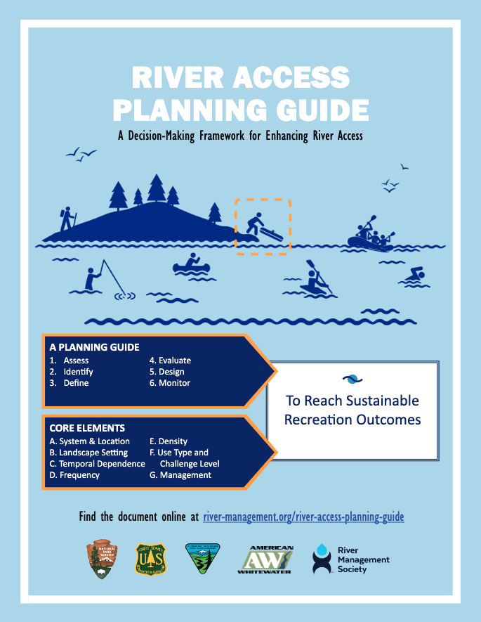
The River Access Planning Guide is a resource for planners, river managers, and users as they design new river access sites, improve existing access, or integrate river access into larger infrastructure projects. The information provided in the guide is intended to provide advice and direction for those involved in river access development and can help facilitate related conversations among agency staff, nonprofits, decision makers, contractors, volunteers, and the public at large.
These guidelines have now been published as both a printed book and an online document that can be referenced during all phases of river access planning, design, and management. Over the past few years the National Park Service and partners have supported a number of projects that address design and planning for waterway access. The River Access Planning Guide is a new component in this suite of resources.
- River Access Planning Guide – Easiest to download (low resolution, 508 compliant)
- River Access Planning Guide – Best for printing (high resolution).
The guide includes case studies of Clackamas River in Oregon and Elwha River Bridge Highway 101 in Washington.


 HRC or member-contributed